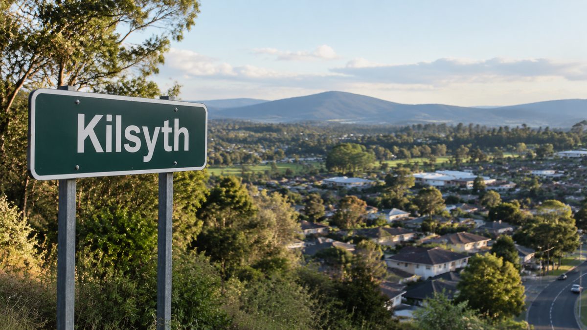
The closest suburbs to Kilsyth are Mooroolbark, Croydon, Croydon South, Kilsyth South, Montrose and The Basin. Bayswater and Boronia are also nearby, while Lilydale and Mount Dandenong are useful local centres in different directions. Think of Kilsyth as a meeting point between Melbourne’s eastern suburbs and the foothills of the Dandenong Ranges.
That location can look simpler on a map than it feels on the road. A suburb may border Kilsyth but lack a quick road link from your street. Another may be a little farther away but much easier to reach along Canterbury Road. meeting point between Melbourne's eastern suburbs
Council borders also run through the area. As a result, nearby homes may have different rubbish services, planning rules and local facilities.
Which suburbs sit directly around Kilsyth?
A tight group of suburbs surrounds Kilsyth, and people move between them every day. Mooroolbark lies to the north. Croydon and Croydon South sit to the west and south-west.
Kilsyth South is directly south. Montrose is to the east, while The Basin lies past the south-eastern edge.
These are usually the places people mean when asking about suburbs near Kilsyth. They share local roads, shopping trips, schools, sports clubs and service areas. You may cross from one suburb into another without spotting a clear change in the streets.
- Mooroolbark, Victoria: north of Kilsyth, with a railway station and a larger town centre.
- Croydon, Victoria: west of Kilsyth, with rail access, shops and civic services.
- Croydon South, Victoria: south-west of Kilsyth, linked by local roads and light industrial areas.
- Kilsyth South, Victoria: south of Kilsyth, with a quieter residential setting near bushland.
- Montrose, Victoria: east of Kilsyth at the base of the hills.
- The Basin, Victoria: south-east of Kilsyth, where suburban streets meet a greener foothill setting.
The name Kilsyth South sometimes causes confusion. Kilsyth South, Victoria is its own suburb, not simply the southern part of every Kilsyth address. A listing that says “south Kilsyth” may only describe a location, while an official Kilsyth South address points to a separate suburb and postcode.
Check the full address before you compare properties, schools or council services.
How should you picture the area without a map?
Picture Kilsyth at the centre of a rough compass. Mooroolbark is above it. Croydon is to the left.
Kilsyth South is below it. Montrose is to the right. The Basin sits toward the lower right, near the rising ground.
The wider ring includes Lilydale to the north-east, Bayswater to the south-west and Boronia farther south. Mount Dandenong rises beyond Montrose. This mental picture is more useful than a simple distance list because each direction takes you to a different kind of centre.
Head west for bigger suburban services and rail stations around Croydon. Go north for Mooroolbark and links toward Lilydale. Travel east for Montrose and the hills. Canterbury Road
South-west leads to Bayswater, Boronia and job areas along the main road network.
In daily life, the closest suburb name may matter less than the closest useful road. Someone in western Kilsyth may reach Croydon quickly. A person near the eastern edge may use the Montrose shops first.
So two Kilsyth households can have quite different routines, even though they share the same suburb name.
Which nearby suburbs have railway stations?
Kilsyth has no railway station of its own. The main nearby options are Mooroolbark, Croydon, Bayswater, Boronia and Lilydale. Your best station depends on your street, destination, parking needs and bus connection.
Mooroolbark, Victoria is often handy for people in northern Kilsyth. Its station is on the Lilydale line, with shops and services around the rail link. Croydon, Victoria works well for many people on the western side.
It is also on the Lilydale line and has bus links through nearby suburbs.
Lilydale, Victoria is farther north-east but acts as an end-of-line centre for trains, shopping and services. It may suit journeys already heading toward Lilydale instead of back toward inner Melbourne. Bayswater, Victoria and Boronia, Victoria are on the Belgrave line.
They may suit people who travel south before catching a train, though road conditions can change which station is quickest.
Don't pick a station by straight-line distance alone. Test the journey at the time you expect to travel. A station three kilometres away may take longer to reach than one five kilometres away if you must cross busy roads or use a slow bus connection.
Which suburbs are easiest to reach by road?
Canterbury Road is the main east-west route through Kilsyth. It leads toward Montrose in one direction and Croydon, Bayswater and other eastern suburbs in the other. Local north-south roads link Kilsyth with Mooroolbark, Croydon South and Kilsyth South.
Canterbury Road, Melbourne is a long route, and its feel changes as it moves east. Around Kilsyth, it carries shoppers, tradespeople, deliveries and commuters. That puts nearby suburbs within easy reach, but peak traffic can slow down a short trip.
Croydon and Mooroolbark are often handy for daily errands because both have direct roads and established centres. Montrose is close too, especially from eastern Kilsyth. Bayswater can suit people working in commercial and industrial areas.
Boronia leads toward the Belgrave corridor and services south of the Dandenong foothills.
Small roads near the hills can look like handy shortcuts. Some are narrow, steep or packed at school times. A route that feels quick on a quiet afternoon may be quite different in the morning rush.
Drive it when you'd normally use it.
Where do the council boundaries fall?
Kilsyth is divided between two local government areas. One part is in the Yarra Ranges Shire, while another is in the City of Maroondah. This is a key detail to check when looking at any Kilsyth address.
The boundary decides which council handles rates, rubbish collection, permits, local roads, libraries and some community services. It doesn't always follow the suburb edge in a way that's clear from the street. Two homes a short walk apart may both use the Kilsyth name but belong to different councils.
Nearby suburbs also sit across this council divide. Mooroolbark, Montrose and Lilydale are linked with Yarra Ranges Shire. Croydon and Croydon South are in the City of Maroondah.
Kilsyth South and The Basin sit in the wider eastern foothill area, but checking the exact property is still the safest way to confirm its council.
Use the official council property search instead of trusting a real estate description. Agents often highlight the suburb name because buyers know it. Council records show which rules and services apply to the block.
Which nearby place suits each common need?
For rail access, compare Mooroolbark and Croydon first. Both have Lilydale line stations and busy shopping areas. The better choice usually depends on which side of Kilsyth you call home.
For a larger regional centre, Lilydale has major shops, public services and routes through the outer east. It isn't the nearest neighbour to every Kilsyth street. Still, it is an important hub for the wider district.
For work sites, trade suppliers and industrial services, Bayswater and parts of Croydon South may be useful. Kilsyth has its own industrial and commercial pockets too, so some residents have a very short trip to work.
For foothill villages and forest drives, Montrose is the natural next stop east. The Basin has a similar green-edge feel to the south-east. Kilsyth South offers residential streets near bushland and reserves while staying close to the suburban road network.
For shops and services along the Belgrave corridor, Boronia has a station, supermarkets and local facilities. From much of Kilsyth, it sits past The Basin. That means the road journey matters more than the short map distance may suggest.
How close are the Dandenong Ranges?
The Dandenong Ranges start close to Kilsyth’s eastern side, but Kilsyth itself is flatter and more suburban and industrial than the hill towns. Montrose and The Basin are useful gateways to the rising land, forest roads and villages above.
Mount Dandenong is nearby in regional terms, but it doesn't directly border Kilsyth. Getting there usually means going through or past Montrose before climbing into the hills. The distance may be short, yet bends, steep roads, tourist traffic and bad weather can slow the trip.
This difference matters when you read property ads. “Near the Dandenong Ranges” can mean easy weekend access, not a house in a forest setting. Kilsyth offers a suburban base near the hills.
Montrose, The Basin and Mount Dandenong have a stronger foothill or mountain feel.
Being close to the hills also brings a few checks. Roads may face fallen branches, fog or heavy rain. Bushfire planning matters more as you move east and get closer to thick plants and trees.
Check the exact street instead of giving a whole suburb one risk level.
Why can two nearby suburbs feel far apart?
A map's distance doesn't show barriers or road layouts. Railway lines, creek corridors, industrial estates and a lack of cross-streets can shape the journey. You may need to loop around just to reach the shops or station in a neighbouring suburb.
Suburb centres don't always sit in the geographic middle. Croydon’s main activity area is around its station. Mooroolbark’s centre follows its road and rail links.
Montrose shops cluster near the main route at the foot of the hills. Your distance from that centre matters more than your distance from the suburb boundary.
For a useful comparison, start with an exact address. Add the home, workplace, preferred station, school and regular shops to a route planner. Check travel on weekday mornings and evenings.
Then drive the route once. You'll spot turn limits, school traffic and awkward intersections that a suburb-level guide can't reveal.
How do you choose the right nearby suburb to visit or live in?
Choose based on the journey you'll make most. If train travel shapes your week, compare Croydon and Mooroolbark first. If you work near industrial areas, compare Kilsyth, Bayswater and Croydon South.
If easy hill access matters, look at Montrose, The Basin and Kilsyth South.
Next, check the exact council. The City of Maroondah and Yarra Ranges Shire use different local systems, even where the neighbourhoods seem to run together. Confirm rubbish days, permit rules and nearby council facilities for the property itself.
Then test the main road connection. Canterbury Road may make an address handy for east-west travel, but nearby homes can get more traffic noise. Streets deeper inside the neighbourhood may be calmer, though they can add time to every journey.
Last, separate the suburb name from your daily routine. Someone with a Kilsyth address near Mooroolbark may use Mooroolbark station and shops. A home near Montrose may look east for most errands.
The address is still Kilsyth, but everyday life crosses the border.
What should you check before relying on a suburb list?
A suburb list points you in the right direction. It isn't a door-to-door answer. Check four details for any address you're considering.
- Check the official suburb and postcode. This avoids confusion between Kilsyth and Kilsyth South.
- Confirm the council. Search the property with the City of Maroondah or Yarra Ranges Shire.
- Measure real travel time. Test routes to Croydon, Mooroolbark or another station during your normal travel hour.
- Inspect the street conditions. Look for traffic, hills, footpaths, crossings and access to the roads you will use.
Action takeaway: Enter the exact Kilsyth address into a map, compare trips to Mooroolbark, Croydon and Montrose, then check its council before making any travel or property choice.
Suburbs near Kilsyth, Victoria include Mooroolbark, Croydon, Montrose, Bayswater North and The Basin.