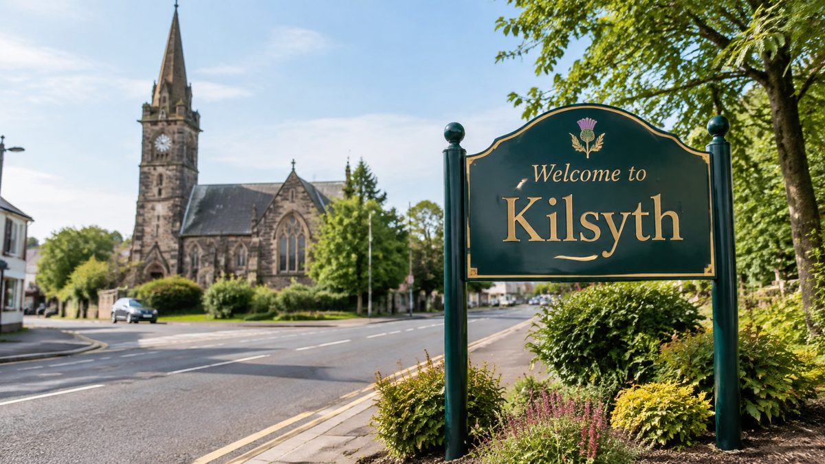
Kilsyth is famous for a major Scottish battle, its place in curling history, nearby Roman remains, and a setting shaped by the canal and Campsie Fells. Its story stretches from the Roman Empire to the industrial age. Few towns of its size can claim links to a Roman frontier, a key civil war victory, an old sporting club, coal mining, and one of central Scotland's main waterways.
Kilsyth sits in North Lanarkshire, between Glasgow and Stirling. Its location explains much of its fame. Armies, traders, miners, boat crews, and travellers all passed through this narrow route between the hills and lower ground.
The town doesn't have just one claim to fame. Instead, its name became tied to several chapters of Scottish history, all packed into the same small area. narrow route between the hills and lower ground
Why is the Battle of Kilsyth so well known?
The Battle of Kilsyth is the event most often tied to the town. It took place on 15 August 1645 during the Wars of the Three Kingdoms, a linked series of conflicts across Scotland, England, and Ireland. Royalist forces led by James Graham, Marquis of Montrose, defeated a larger Covenanter army commanded by William Baillie.
The victory was Montrose's greatest military success. His force included Highland troops and skilled Irish soldiers under Alasdair MacColla. They faced an army weakened by arguments between its military commander and political leaders.
The ground mattered too. Its broken shape made it hard for the Covenanters to form a solid battle line.
Fighting spread across fields, slopes, burns, and rough land near the town. Once the Covenanter line broke, the retreat turned into a rout. Many soldiers died while fleeing, as well as during the main clash.
Exact totals vary between accounts, so firm numbers should be treated with care. But the scale of the defeat isn't in doubt.
The result briefly gave Montrose control over much of Scotland for King Charles I. It didn't last. His army lost at Philiphaugh a month later. Still, Kilsyth stands out as the high point of his campaign.
A visitor seeing only a quiet path or open field may struggle to picture the battle. Yet the land itself is part of the evidence. Slopes limit movement, wet ground breaks formations, and narrow routes can turn an orderly retreat into panic.
Walking through the area makes the battle easier to grasp than troop numbers alone.
How did Kilsyth become part of curling history?
Kilsyth is also known for curling. The sport has deep Scottish roots, with players sliding stones across frozen lochs and ponds long before indoor ice rinks arrived. Kilsyth gained a formal place in that story through the Kilsyth Curling Club.
The Kilsyth Curling Club dates from 1716 and is often listed among the world's oldest curling clubs. Its early members played outdoors whenever winter produced safe natural ice. Matches relied on cold weather, local know-how, and a suitable patch of frozen water.
Early curling was rougher than the sport seen at the Winter Olympics. Stones differed in shape and weight, while outdoor ice could be bumpy. Even so, players needed judgment, control, and tactics.
The basic aim was familiar: place stones closer to a target than the other team.
The club matters because it shows how a local pastime grew into an organised sport. Written rules, regular matches, and club records helped turn a winter game into a lasting social group. Curling also gave people a reason to gather during the coldest months, when farm and outdoor work slowed.
Many accounts of Kilsyth focus so much on war that they overlook this side of the town. The battle brought sudden fame through violence. The club earned notice through a local practice repeated across centuries.
Both stories survive because people kept records and passed their names down.
What Roman story lies close to the town?
Kilsyth stands close to the Antonine Wall, the northern frontier built by the Roman Empire in Britain during the second century AD. Emperor Antoninus Pius ordered its construction after Roman forces moved north from Hadrian's Wall. The frontier crossed central Scotland from the Firth of Forth to the River Clyde.
The Antonine Wall wasn't a tall stone barrier along its full length. Much of it was a turf rampart built on a stone base, with a deep ditch on its northern side. Forts, fortlets, roads, and camps supported the line.
Soldiers watched movement, carried messages, and controlled entry through the frontier zone.
Near Kilsyth, the wall's route can be hard to spot without a map or signs. Centuries of farming, building, drainage, and road work have changed the ground. Low banks and ditches may look natural to an untrained eye.
That's part of the experience. Roman history here often survives as a shift in the land, not a standing ruin.
The wall also challenges a common idea about Roman borders. It wasn't a simple dividing line, with Rome on one side and untouched land on the other. People, livestock, goods, and military units moved through a managed zone.
Forts helped Rome watch that traffic, but its level of control changed over time.
Roman forces held the Antonine frontier for only part of the second century before returning to Hadrian's Wall. Its short working life didn't make it a failed curiosity. It shows how far Roman power reached and how fast an empire could build a military system across hard ground.
Why does the Forth and Clyde Canal matter to Kilsyth?
The Forth and Clyde Canal passes close to Kilsyth, giving the town another strong link to national history. Opened in the late eighteenth century, it formed a navigable route between Scotland's east and west coasts. Boats could cross the country without taking the longer sea journey around the north.
The canal carried heavy goods when roads were slow and costly. Coal, iron, timber, grain, and manufactured items moved through the central belt. Kilsyth's place near the waterway linked local work with bigger markets.
The canal reshaped the land around it. Locks dealt with changes in height, while bridges carried roads across the channel. Basins, towpaths, and feeder systems kept it running each day.
Horses once pulled boats from the bank, so the towpath was a workplace, not a leisure trail.
Railways later took much of the freight trade. Parts of the canal fell into decline before restoration brought the route back into use. Today, walking, cycling, boating, fishing, and wildlife watching have replaced much of its old industrial role.
That change can hide what the canal once meant. A calm waterside path feels far removed from heavy trade. But look at the channel's width, the lock structures, and its course through the hills.
Each feature shows that this waterway was built as transport infrastructure, not as a park.
How did coal shape the town people know today?
Coal mining shaped Kilsyth's growth, jobs, housing, and community life. Local seams fed pits around the town and helped power the factories, railways, homes, and iron works of industrial Scotland.
Mining affected far more than the men underground. Families planned daily life around shifts, and local shops depended on miners' wages. Housing grew close to workplaces and transport routes.
Accidents, illness, strikes, and pit closures could hit whole streets at once.
Old mining land doesn't always reveal itself. A green space may cover disturbed ground, while a quiet track may follow a former industrial route. Place names, spoil landforms, old maps, and family records can point to work sites that have disappeared.
Coal also explains why Kilsyth can't be viewed only as an old rural settlement. Industry brought in workers and tied the town to markets outside the district. It formed close communities, but the job carried grave risks.
Dust damaged lungs. Underground falls and explosions killed workers. Families lived with that threat as part of everyday life.
When people with mining roots talk about the past, their strongest memories often involve routines, not machines. Boots by the door. Wash water blackened by coal dust. Shift whistles and the wait for news after an accident.
Such details show the industry's social impact better than production figures alone.
Why has Kilsyth's setting become part of its identity?
Kilsyth lies near the foot of the Campsie Fells, with open views, reservoirs, burns, paths, and high ground close to the built-up area. This landscape gives the town a sharp edge between streets and countryside.
The terrain ties its famous stories together. Roman planners used the central belt as a frontier corridor. Seventeenth-century commanders had to deal with slopes and broken ground.
Canal engineers searched for a workable route across the country, while miners followed the geology underground. The same land shaped every period in a different way.
That is the key idea behind Kilsyth's fame: location drove its history. The town stood on useful ground between larger centres and beside routes that crossed Scotland. Its hills offered views and barriers, while its low ground allowed movement.
Below the surface, its geology supplied fuel.
Visitors can still follow those links in one day. A walk near the battlefield gives the military story a physical shape. A stop beside the canal reveals the later transport route.
Signs of industrial land use remain around the edges, while the Antonine frontier adds a far older layer.
Is Kilsyth in Lanarkshire or Stirlingshire?
Kilsyth is now run by North Lanarkshire Council. Many current directories therefore list it in North Lanarkshire, Scotland. Older sources may place it in Stirlingshire or Dunbartonshire because county and district borders changed over time.
This can muddle family research and local history searches. A birth, mine, club, church, or property record may appear under a historic county name instead of the modern council area. The place hasn't moved.
Only the system used to label it has changed.
For current services and administration, use North Lanarkshire. For older records, search more than one county catalogue and check the date linked to each label. That small step may uncover records missed by a modern place-name search.
What do most quick accounts of Kilsyth miss?
Quick accounts often present Kilsyth's famous features as separate facts. A better explanation joins them together. The Antonine Wall, Battle of Kilsyth, Forth and Clyde Canal, and coal industry all relied on the town's position and physical ground.
They left very different kinds of evidence. A battle may survive in written accounts and remembered places. A sport lives on through club records and continued play.
Roman control appears in earthworks and archaeology. Industry leaves changed land, family memories, and transport lines.
This matters when deciding what can still be seen. Fame doesn't always leave behind a grand monument. Some of Kilsyth's best-known history lies beneath fields, follows a ditch, runs along a towpath, or rests inside a club archive.
Knowing which kind of evidence to look for makes the town much easier to read.
Start with the battlefield and canal, then use a local heritage map to trace the Roman, curling, and mining stories that made Kilsyth famous.